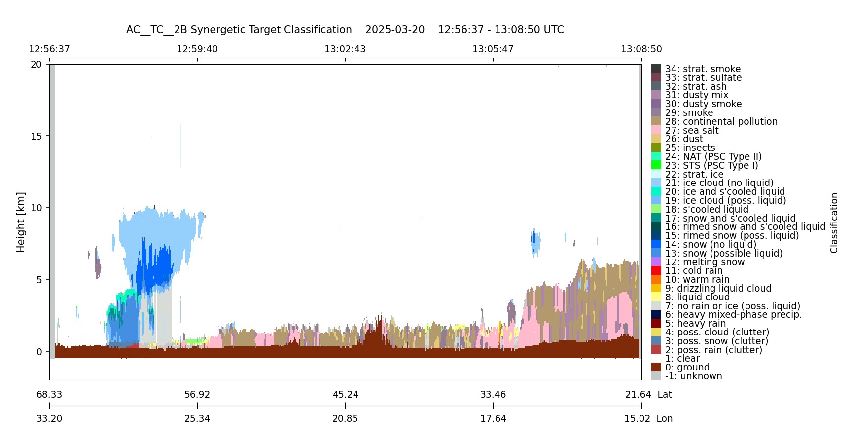
- ECA_EXAC_AC__TC__2B_20250320T125646Z_20250320T144934Z_04599D
Metadata Summary View Full Metadata
- ECA_EXAC_AC__TC__2B_20250320T125646Z_20250320T144934Z_04599D
- Dataset
- 10.57780/eca-0567509
- 67.495273 32.388527 62.636672 28.56698 57.711659 25.734763 52.744567 23.504224 47.748431 21.663622 42.730912 20.088037 37.696913 18.699024 32.649858 17.44468 27.592348 16.289054 22.526533 15.206181
- 2025-03-20 12:56:46 / 2025-03-20 13:08:32
- EarthCARE
- SYNERGETIC
- 2025-03-20 13:08:32
- AC__TC__2B
- PDGS-CPFxx
- 2025-03-20 14:49:34
- other: 2B
- AC-TC
- 11.40
- ZIP
- 1335639
- NA
- AC
- epsg:4326
- DEGRADED
- AUTOMATIC
- DESCENDING
- 4599
- 2025-03-20T12:28:07.900Z
- -157.59627897505865
- OTHER
- 4599
- D
- DEFAULT
- Alternates
- Atom format
- OGC 10-157r4 metadata
- OGC 17-069r3 metadata
- STAC metadata
- ISO 19139 metadata
- JSON-LD metadata
- JSON-LD (schema.org) metadata
- JSON-LD (GeoDCAT-AP) metadata
- RDF/XML metadata
- RDF/XML (schema.org) metadata
- RDF/XML (GeoDCAT-AP) metadata
- Turtle metadata
- Turtle (schema.org) metadata
- Turtle (GeoDCAT-AP) metadata
- HTML
- OGC 17-003r2 metadata
- Data
- Previews
