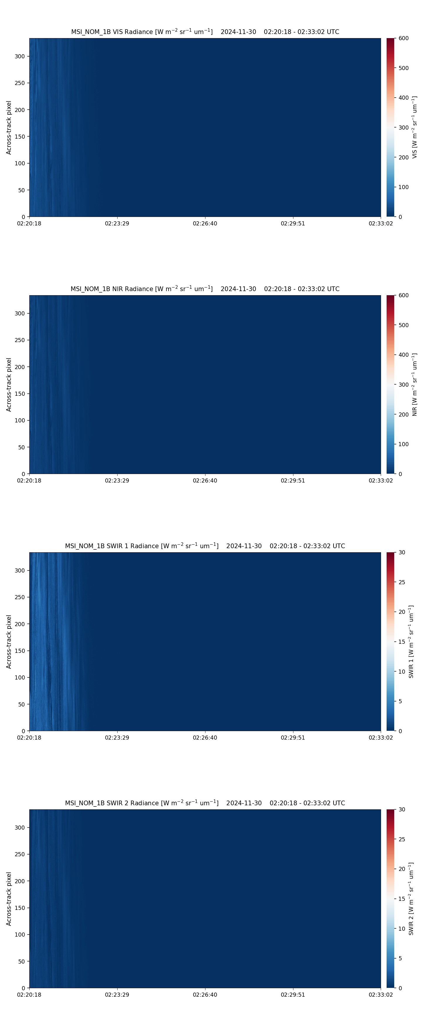
- ECA_EXBA_MSI_NOM_1B_20241130T022040Z_20250622T132541Z_02880H
Metadata Summary View Full Metadata
- ECA_EXBA_MSI_NOM_1B_20241130T022040Z_20250622T132541Z_02880H
- Dataset
- 10.57780/eca-b3bc031
- -67.364012 12.81763 -62.525461 8.852062 -57.613448 5.913545 -52.654436 3.602749 -47.662604 1.700196 -42.646237 0.075916 -37.610588 -1.351894 -32.559267 -2.637417 -27.494973 -3.818189 -22.419899 -4.921296 -22.490625 -5.312804 -22.699253 -6.502401 -27.779113 -5.472951 -32.849983 -4.386574 -37.910246 -3.220787 -42.958045 -1.944667 -47.991023 -0.513675 -53.005846 1.139574 -57.997278 3.122886 -62.956264 5.620689 -67.86551 8.976125 -67.496789 11.880398 -67.364012 12.81763
- 2024-11-30 02:20:40 / 2024-11-30 02:32:29
- EarthCARE
- MSI
- 2024-11-30 02:32:29
- MSI_NOM_1B
- PDGS-CPF
- 2025-06-22 13:23:26
- 1B
- M-L1
- 5.0
- ZIP
- 389839831
- NA
- BA
- epsg:4326
- NOMINAL
- AUTOMATIC
- ASCENDING
- 2880
- 2024-11-30T01:05:44.499Z
- 13.475590213001361
- NOMINAL
- 2880
- H
- DEFAULT
- Alternates
- Atom format
- OGC 10-157r4 metadata
- OGC 17-069r3 metadata
- STAC metadata
- ISO 19139 metadata
- JSON-LD metadata
- JSON-LD (schema.org) metadata
- JSON-LD (GeoDCAT-AP) metadata
- RDF/XML metadata
- RDF/XML (schema.org) metadata
- RDF/XML (GeoDCAT-AP) metadata
- Turtle metadata
- Turtle (schema.org) metadata
- Turtle (GeoDCAT-AP) metadata
- HTML
- OGC 17-003r2 metadata
- Data
- Previews
