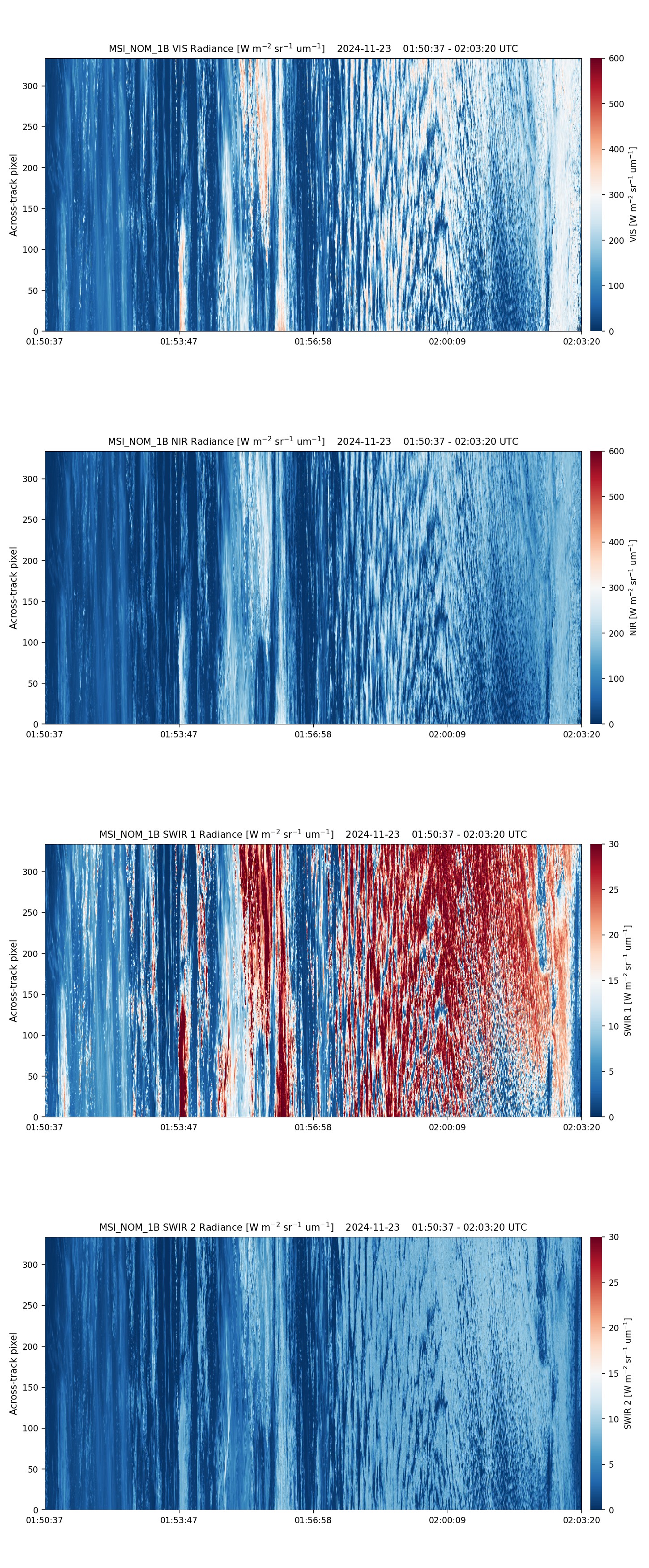
- ECA_EXBA_MSI_NOM_1B_20241123T015059Z_20250621T113452Z_02771F
Metadata Summary View Full Metadata
- ECA_EXBA_MSI_NOM_1B_20241123T015059Z_20250621T113452Z_02771F
- Dataset
- 10.57780/eca-b3bc031
- -22.408229 178.911618 -27.484749 177.808539 -32.550437 176.627815 -37.603086 175.342359 -42.639985 173.914641 -47.657512 172.290481 -52.650405 170.388086 -57.61037 168.077502 -62.523223 165.139273 -67.3625 161.174114 -67.495143 162.110548 -67.863515 165.012272 -62.953521 168.367087 -57.993671 170.864486 -53.001263 172.847524 -47.985356 174.500584 -42.951195 175.93145 -37.902125 177.207489 -32.840514 178.373233 -27.768234 179.459598 -22.686914 -179.510933 -22.478782 179.302225 -22.408229 178.911618
- 2024-11-23 01:50:59 / 2024-11-23 02:02:48
- EarthCARE
- MSI
- 2024-11-23 02:02:48
- MSI_NOM_1B
- PDGS-CPF
- 2025-06-21 11:32:11
- 1B
- M-L1
- 5.0
- ZIP
- 376688866
- NA
- BA
- epsg:4326
- NOMINAL
- AUTOMATIC
- DESCENDING
- 2771
- 2024-11-23T00:58:59.575Z
- 15.194342725550271
- NOMINAL
- 2771
- F
- DEFAULT
- Alternates
- Atom format
- OGC 10-157r4 metadata
- OGC 17-069r3 metadata
- STAC metadata
- ISO 19139 metadata
- JSON-LD metadata
- JSON-LD (schema.org) metadata
- JSON-LD (GeoDCAT-AP) metadata
- RDF/XML metadata
- RDF/XML (schema.org) metadata
- RDF/XML (GeoDCAT-AP) metadata
- Turtle metadata
- Turtle (schema.org) metadata
- Turtle (GeoDCAT-AP) metadata
- HTML
- OGC 17-003r2 metadata
- Data
- Previews
