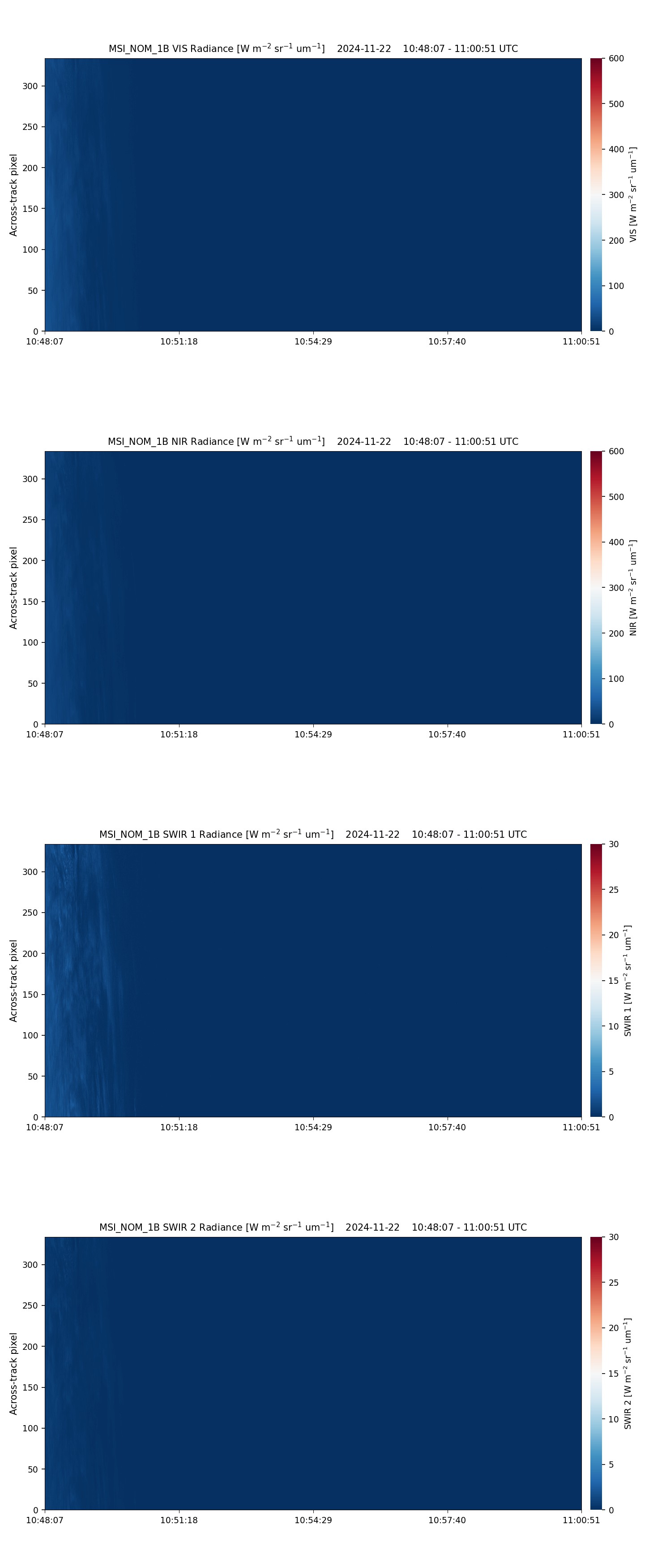
- ECA_EXBA_MSI_NOM_1B_20241122T104829Z_20250621T171704Z_02761H
Metadata Summary View Full Metadata
- ECA_EXBA_MSI_NOM_1B_20241122T104829Z_20250621T171704Z_02761H
- Dataset
- 10.57780/eca-b3bc031
- -67.343338 -114.127543 -62.504396 -118.085413 -57.592223 -121.019134 -52.633179 -123.326718 -47.641392 -125.226993 -42.625122 -126.849581 -37.589609 -128.276085 -32.538454 -129.560569 -27.474353 -130.740489 -22.399496 -131.842884 -22.470242 -132.234604 -22.678926 -133.424847 -27.758555 -132.396061 -32.829216 -131.310486 -37.889294 -130.145685 -42.936936 -128.870807 -47.969788 -127.441424 -52.984527 -125.790338 -57.975937 -123.810068 -62.934999 -121.3168 -67.844501 -117.968675 -67.476036 -115.064708 -67.343338 -114.127543
- 2024-11-22 10:48:29 / 2024-11-22 11:00:18
- EarthCARE
- MSI
- 2024-11-22 11:00:18
- MSI_NOM_1B
- PDGS-CPF
- 2025-06-21 17:14:32
- 1B
- M-L1
- 5.0
- ZIP
- 392151251
- NA
- BA
- epsg:4326
- NOMINAL
- AUTOMATIC
- ASCENDING
- 2761
- 2024-11-22T09:33:32.709Z
- -113.43741270051098
- NOMINAL
- 2761
- H
- DEFAULT
- Alternates
- Atom format
- OGC 10-157r4 metadata
- OGC 17-069r3 metadata
- STAC metadata
- ISO 19139 metadata
- JSON-LD metadata
- JSON-LD (schema.org) metadata
- JSON-LD (GeoDCAT-AP) metadata
- RDF/XML metadata
- RDF/XML (schema.org) metadata
- RDF/XML (GeoDCAT-AP) metadata
- Turtle metadata
- Turtle (schema.org) metadata
- Turtle (GeoDCAT-AP) metadata
- HTML
- OGC 17-003r2 metadata
- Data
- Previews
