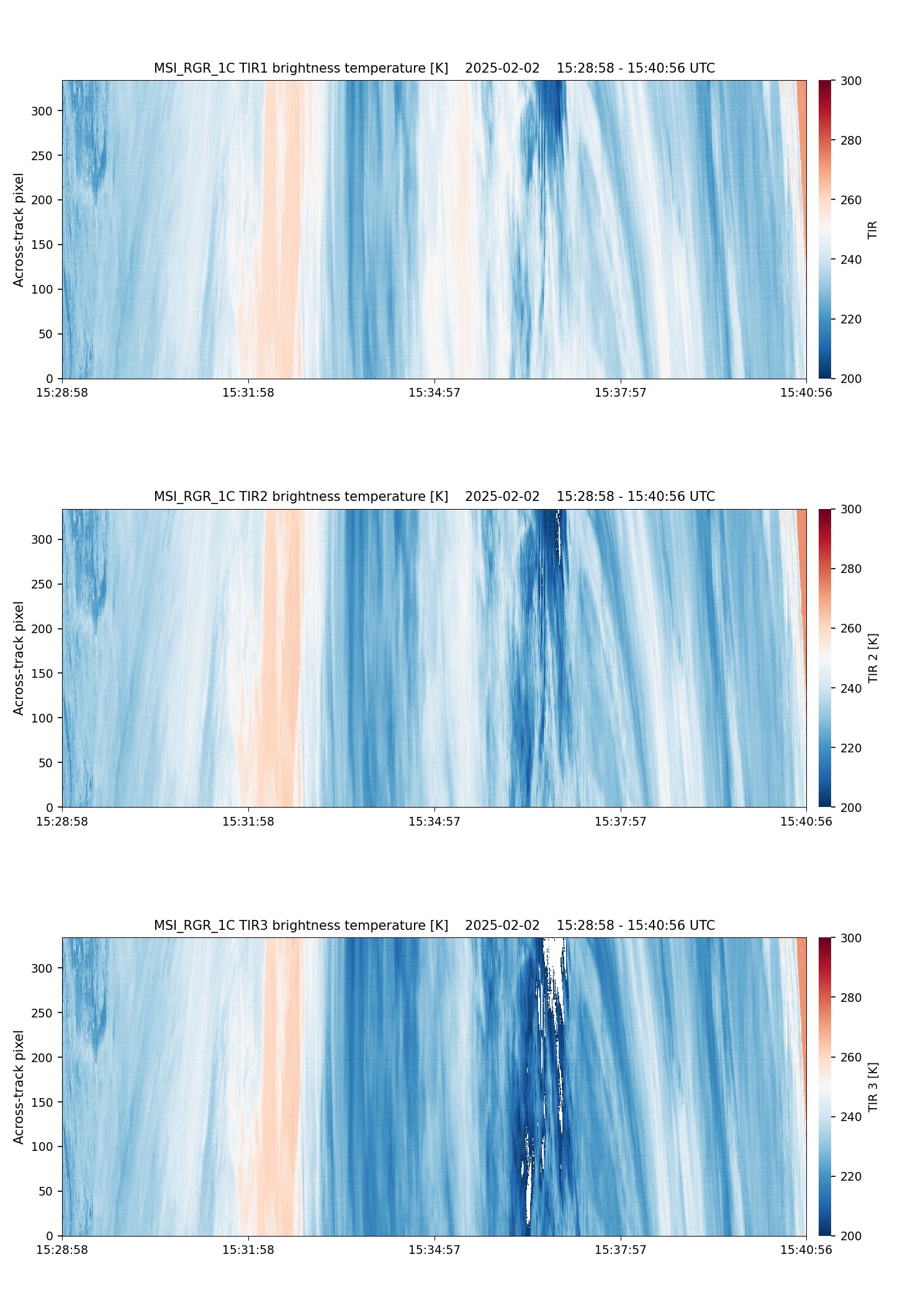
- ECA_EXAF_MSI_RGR_1C_20250202T152920Z_20250202T215306Z_03885C
Metadata Summary View Full Metadata
- ECA_EXAF_MSI_RGR_1C_20250202T152920Z_20250202T215306Z_03885C
- Dataset
- 10.57780/eca-f71cd1a
- 67.609444 141.071671 72.100499 136.076143 76.407516 128.17001 80.286696 113.942245 82.991784 86.052827 82.99802 45.904375 80.300214 17.947249 76.423656 3.683466 72.11772 -4.238574 67.627229 -9.241916 67.504724 -8.330712 67.102562 -5.626838 71.48508 0.078572 75.619679 8.883736 79.220714 23.749924 81.576857 49.314124 81.571675 82.6218 79.208554 108.139455 75.604449 122.973712 71.468458 131.762631 67.085197 137.459493 67.487035 140.161223 67.609444 141.071671
- 2025-02-02 15:29:20 / 2025-02-02 15:40:24
- EarthCARE
- MSI
- 2025-02-02 15:40:24
- MSI_RGR_1C
- PDGS-CPF
- 2025-02-02 21:50:24
- other: 1C
- M-L1
- 4.6
- ZIP
- 209931803
- NA
- AF
- epsg:4326
- NOMINAL
- AUTOMATIC
- ASCENDING
- 3885
- 2025-02-02T15:11:46.378Z
- 161.68093895634405
- OTHER
- 3885
- C
- DEFAULT
- Alternates
- Atom format
- OGC 10-157r4 metadata
- OGC 17-069r3 metadata
- STAC metadata
- ISO 19139 metadata
- JSON-LD metadata
- JSON-LD (schema.org) metadata
- JSON-LD (GeoDCAT-AP) metadata
- RDF/XML metadata
- RDF/XML (schema.org) metadata
- RDF/XML (GeoDCAT-AP) metadata
- Turtle metadata
- Turtle (schema.org) metadata
- Turtle (GeoDCAT-AP) metadata
- HTML
- OGC 17-003r2 metadata
- Data
- Previews
